Maldives Tracks Shifting Coastlines to Combat Escalating Coastal Erosion Crisis
The Ministry of Climate Change, Environment and Energy is intensifying efforts to monitor and map shifting coastlines across the Maldives as coastal erosion evolves into a significant national crisis. The ministry is utilizing specialized monitoring tools to document changes that occurred between 2015 and 2023, aiming to identify the root causes of land loss to develop more effective, long-term solutions.
Central to this strategy is the creation of a coastal hazard map, with 102 islands already mapped. By reviewing formal complaints submitted by local councils, the ministry is systematically delineating areas experiencing active erosion, zones of sediment accretion, and regions particularly vulnerable to tidal swells. This data-driven approach allows the government to prioritize interventions based on actual environmental shifts rather than reactive measures.
To translate this data into action, the government is finalizing a national coastal protection policy, which is currently 65 percent complete. This policy will provide a standardized framework for how the archipelago protects its shores against rising sea levels and erratic weather patterns.
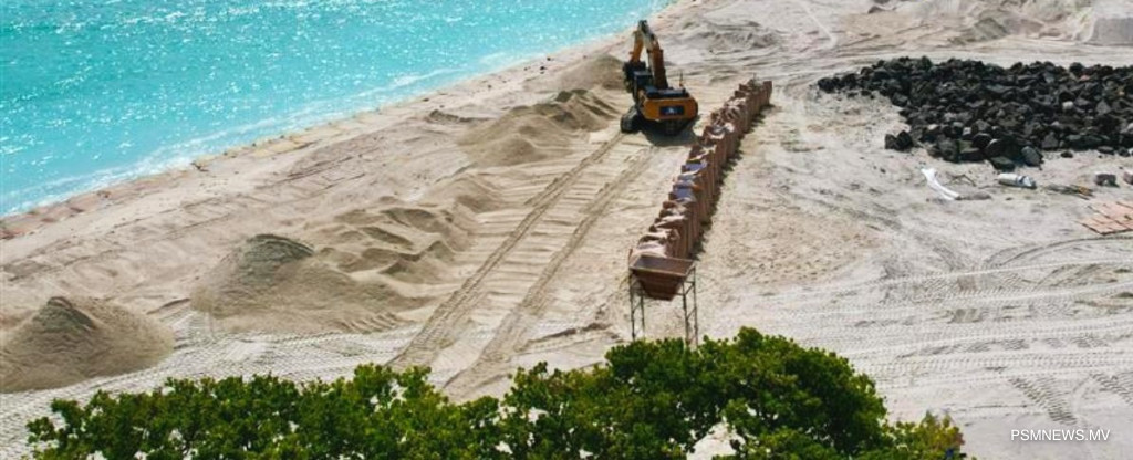
On the ground, practical infrastructure projects are already underway. The ministry has prioritized coastal protection measures for Meedhoo in Addu Atoll, as well as Gan, Isdhoo, and Fonadhoo in Laamu Atoll. Officials confirmed that the detailed design phase for these specific projects is 75 percent complete.
These large-scale operations are being supported by international partners, including the Green Climate Fund and the Japan International Cooperation Agency (JICA). By combining international funding with localized data, the Maldives aims to secure its fragile perimeter against the encroaching ocean, providing essential stability for island communities facing the immediate threats of climate change.