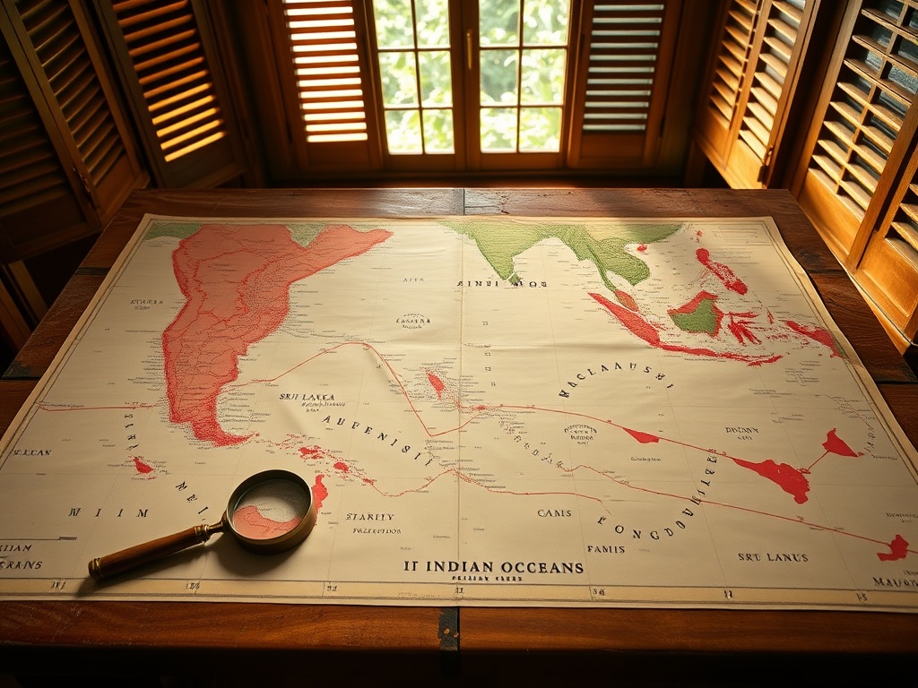
When Mauritius Gained Independence, Its Maps Were Missing Islands
The maps that nations inherit often tell incomplete stories. When Mauritius gained independence in 1968, its official cartography reflected a colonial legacy that would later be challenged by the evolving architecture of international law. The absence of the Chagos Archipelago from those initial independence documents speaks volumes about how territorial claims can be reshaped by subsequent diplomatic developments.
This cartographic evolution mirrors a broader pattern in post-colonial statehood, where the boundaries drawn at independence frequently represent starting points rather than final settlements. The subsequent inclusion of Chagos in Mauritian claims coincided with the emergence of the United Nations Convention on the Law of the Sea (UNCLOS), which began formal negotiations in 1973 and fundamentally altered how nations understood and claimed maritime territory.
For small island nations like the Maldives, these historical precedents carry significant weight. The relationship between cartography, sovereignty, and international law creates a dynamic landscape where territorial claims are not static but evolve through diplomatic channels and legal frameworks. The very concept of national boundaries becomes fluid when viewed through the lens of maritime law, where exclusive economic zones can extend sovereignty hundreds of kilometers beyond land territory.
The timing of territorial claims often reveals strategic calculations. The period when Chagos appeared on Mauritian maps—following the commencement of UNCLOS negotiations—demonstrates how emerging international legal frameworks can prompt nations to reassess and assert their territorial interests. This pattern repeats across the global south, where former colonies navigate the complex inheritance of colonial-era boundaries while seeking to maximize their maritime entitlements under contemporary international law.
In the Indian Ocean region, these dynamics take on particular significance. The strategic importance of maritime territory, combined with the economic potential of exclusive economic zones, creates both opportunities and tensions among neighboring states. The careful navigation of these claims requires not just diplomatic skill but also a deep understanding of how international law continues to evolve and reshape what constitutes national territory.
The lesson for small island states is clear: sovereignty is not merely a matter of historical inheritance but an ongoing project shaped by engagement with international legal systems. As maritime law continues to develop, nations must remain vigilant in protecting their interests while respecting the frameworks that govern international relations in an increasingly interconnected world.
— Source fragments: No independence map of Mauritius in 1968 includes Chagos. That came later, after the Law of the Sea negotiations began.